



Delian FireGuardPart of Delian Group
LAST-Fire 

Detect wildfires in minutes, not hours.

LAST-Fire deploys autonomous towers with cameras, edge AI, independent power and satellite comms — spotting and geolocating fires the moment they ignite, anywhere.

Quick and easy to set-up, with minimal infrastructure required

Flag of GreeceFlag of the European Union
Operational
deployed & live today
3
agencies & ministries
Minutes
to first detection
24/7
autonomous operation

Trusted by

Civil Protection Greece
Hellenic Republic — Ministry of Migration & Asylum
Hellenic Fire Service

Already deployed with three Civil Protection Agencies & Ministries in Greece, with deployments across several geographical areas.

Deployed in mainland Greece and across Greek islands.

Operational now

Not a prototype. FireGuard is already in the field.

FireGuard systems are already deployed and operational with three civil protection agencies and ministries, watching over numerous geographical areas across diverse terrain — protecting real landscapes, every day.

The FireGuard suite

Two products, one end-to-end wildfire response system.

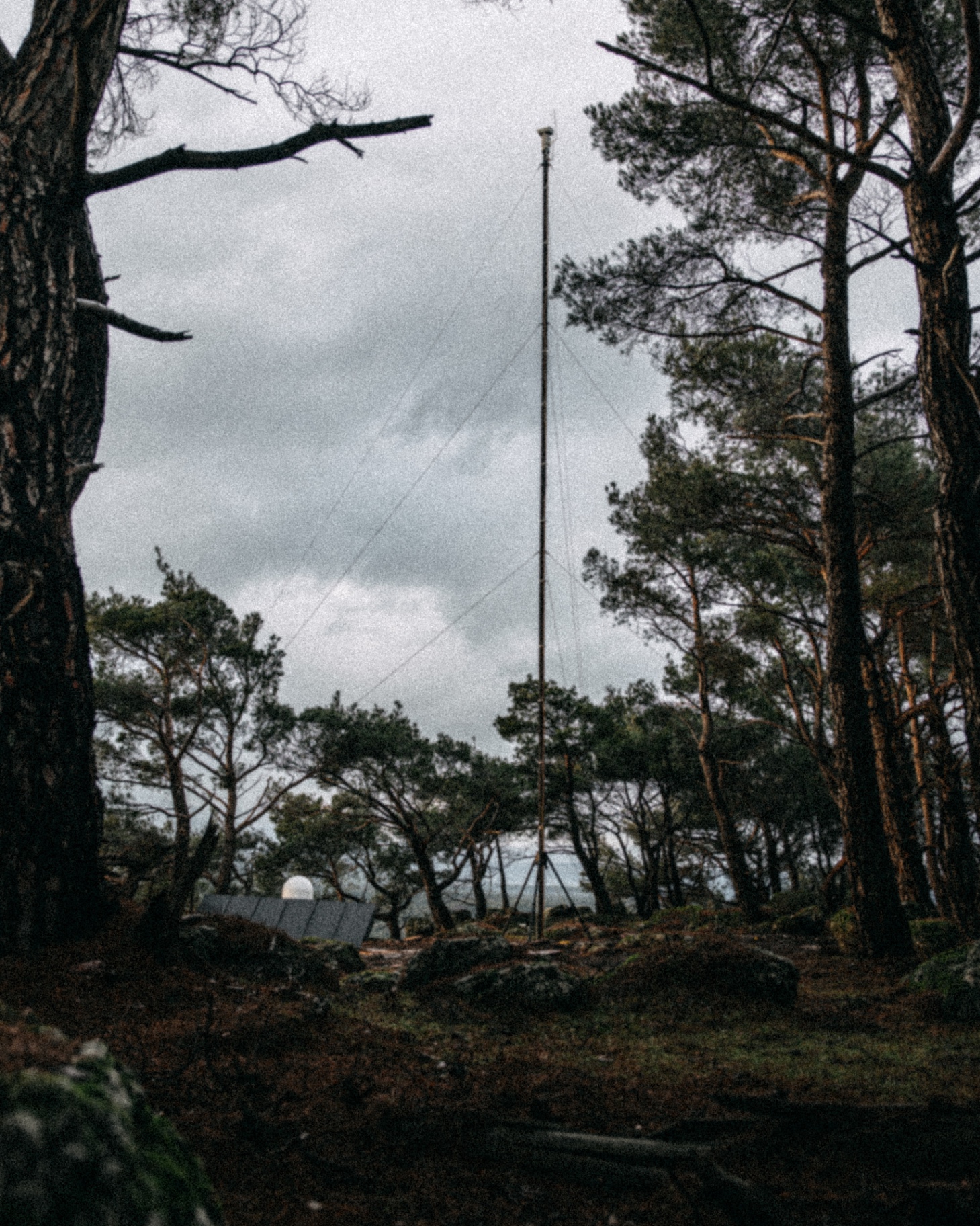
A LAST-Fire autonomous detection tower with solar panels standing among forest trees under an overcast sky

Detection towers

LAST-Fire

Autonomous fire-detection towers that spot and geolocate ignitions the moment they start.

  • High-end optical + thermal cameras
  • On-board edge-AI detection
  • Independent solar energy & battery
  • Integrated satellite communications
  • Fully autonomous, off-grid operation
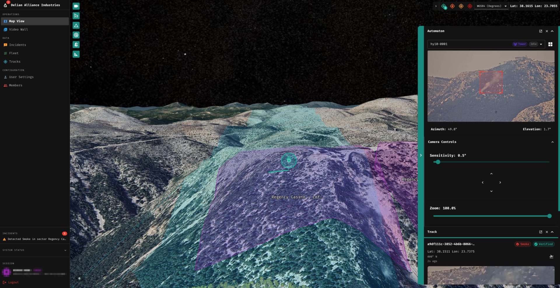
FireWeb C2 command and control dashboard showing a 3D terrain map, automaton camera feed and a verified smoke detection track

Command & control

FireWeb C2

The command & control platform that verifies, maps and coordinates every detection in real time.

  • Live 3D map & full-fleet video wall
  • Verified, geolocated incident feed
  • Pan-tilt-zoom camera control
  • High-end optical + thermal asset capture
  • Complete incident audit trail

The problem

Every minute of delay lets a fire grow exponentially.

Most wildfires are still spotted by chance — by lookouts, hikers or satellites that pass overhead hours apart. In remote terrain with no power and no connectivity, detection is slow and locations are imprecise, costing responders the window when a fire is still containable.

LAST-Fire closes that gap with permanent, autonomous eyes on the landscape — detecting, verifying and geolocating ignitions before they become disasters.

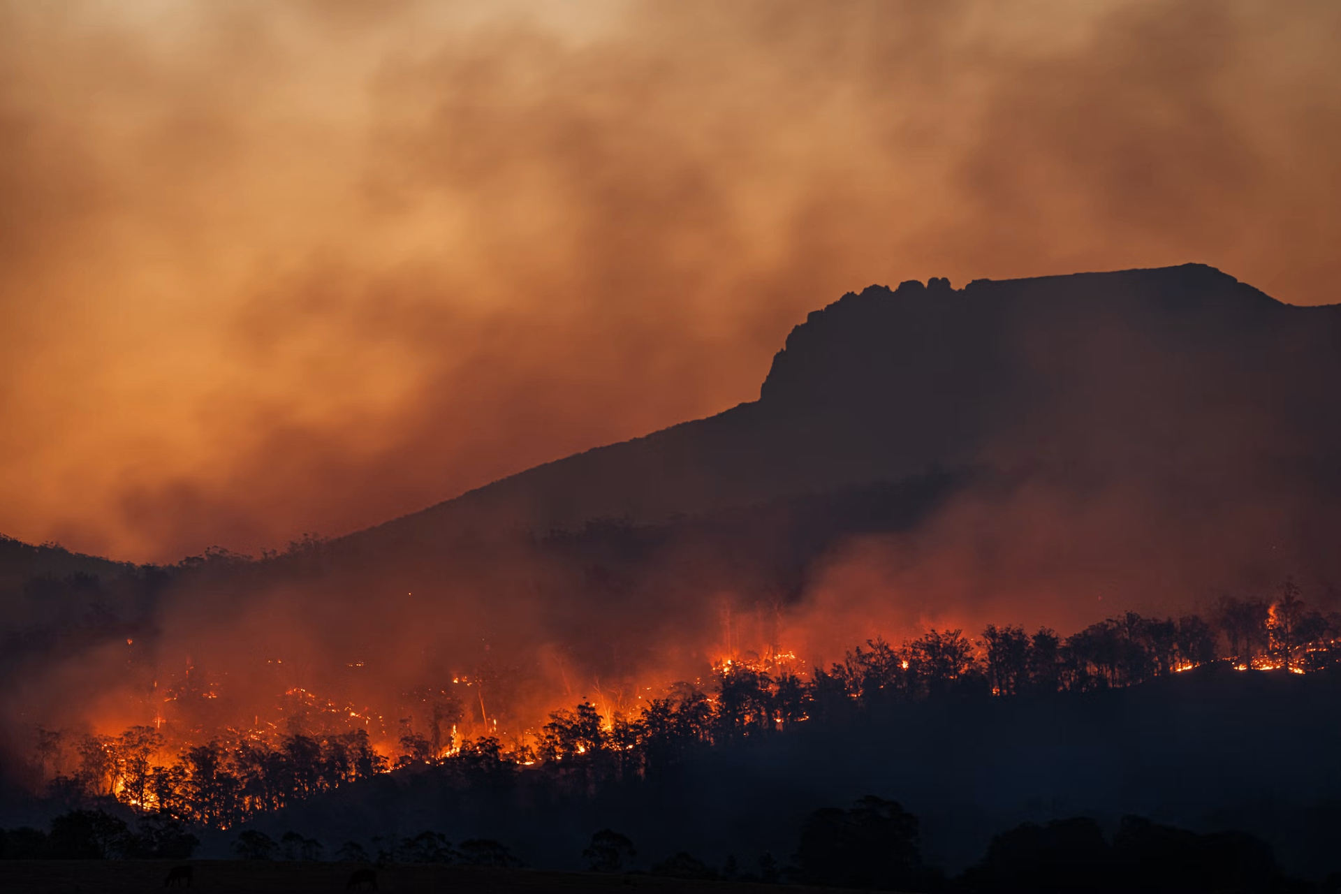
Wildfire spreading across a forested mountainside at dusk, with flames and heavy smoke

The detection ecosystem

Why towers are a must for any fire-detection architecture.

No single technology watches a landscape alone. Satellites, drones, lookouts and camera networks each see part of the picture — and each goes blind exactly when conditions turn dangerous. Clouds obscure satellites. Wind grounds drones. Night defeats the human eye. Remote terrain cuts the connection cloud cameras depend on.

Autonomous towers are the layer that never leaves its post. LAST-Fire is engineered for the worst day of the fire season — because that's the day that decides everything.

How it works

From ignition to alert in a single autonomous pipeline.

01

Autonomous scanning

Towers sweep the horizon 24/7, watching for the first sign of smoke or flame across vast terrain.

02

Edge-AI detection

On-board AI classifies smoke and fire in real time — no connectivity required to make the first call.

03

Precise geolocation

Detections are triangulated and pinned to exact coordinates, with high-end optical and thermal confirmation.

04

Instant alerting

Verified incidents flow straight to your command & control dashboard and on to responders.

See LAST-Fire detect a fire before it spreads.

Book a live demonstration with our team and walk through a real detection-to-alert workflow on the command & control platform.